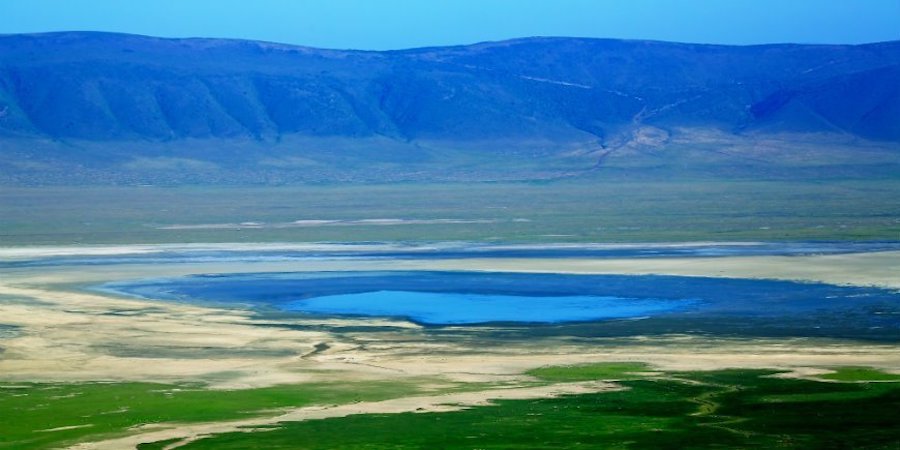
Named after the iconic Ngorongoro crater in the area, the Ngorongoro Conservation Area is a huge natural property comprising highland plains, savanna, savanna woodlands, and forests. It is situated in the Ngorongoro district, 110 miles west of Arusha and its western part is contingent on the Serengeti ecosystem thus hosting the annual migration of the wildebeests. This natural environment was set up as a multiple land use area, with wildlife living harmoniously with the Maasai pastoralists rearing cattle traditionally including the Ngorongoro crater.
The area is a UNESCO Heritage Site and a biodiversity conservation area of global significance because of the availability of globally endangered species, the concentration of wildlife, and the yearly migration of wildebeest, gazelles, and zebras into the northern biosphere. A thorough archeological research has revealed vivid evidence of ancient human settlement and their activities, including early man footprints tracing back over 3 million years ago.
The conservation area is managed by The Ngorongoro Conservation Area Authority, a Tanzanian government parastatal. The 2009 Ngorongoro Wildlife Conservation Act stipulated new limitations on human settlement and cultivation in the crater, evicting Maasai cattle keepers that had been relocated to Ngorongoro from their original areas to the north during the establishment of Serengeti national park in 1959 by the British colonial government.
The limitation on land use has created a rocky relationship between the conservation authorities and the local Maasai communities.
The International Union for Conservation of Nature is looking for solutions to waiver animosity and advance cooperation efforts concerning conservation with the communities.
Ngorongoro land is the only gazetted area in Tanzania that protects wildlife while permitting human settlement, making it a unique natural property. The land use is monitored and limited to avoid appalling ramifications on the wildlife population. For instance, large-scale farming is totally restricted yet subsistence is allowed.
The Ngorongoro Conservation Area is a section of the Serengeti ecosystem and to the northwest, it links with Serengeti National Park and is attached to the southern Serengeti plains. These prairies stretch to the north into the isolated Loliondo division and are left free for wildlife. The south and west of the Ngorongoro are volcanic mountains comprising the iconic Ngorongoro crater and the less popular Olmoti and Empakaai Craters. The eastern and southern margins are dominated by the rim of the east African rift wall that impedes animals from moving out of the area.
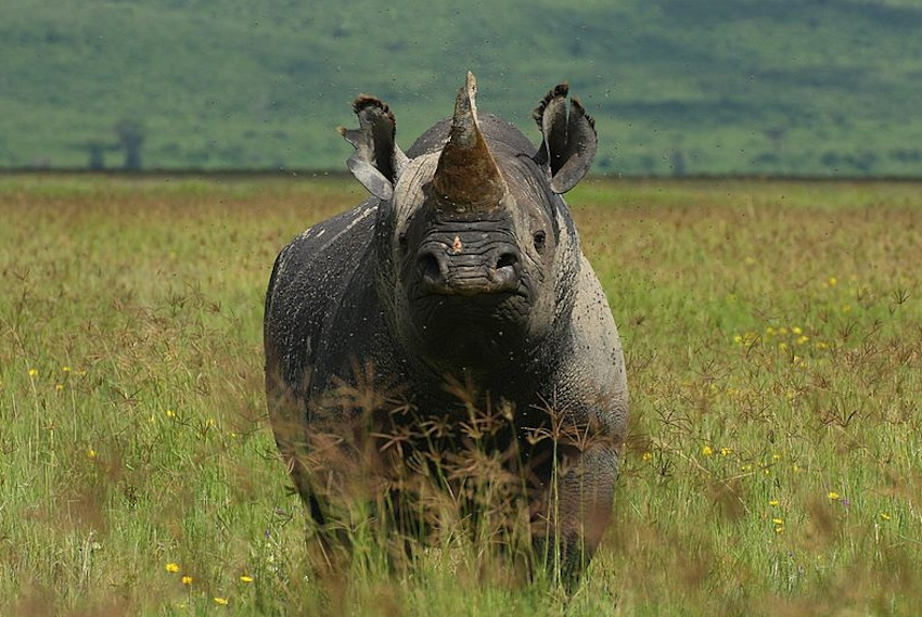
Within the area, there is Lake Magadi and Ngoitokitok spring which are major sources of water for exotic animals and the cattle of the Maasai, especially in the dry season. The stunning vegetation which churns around the volcanic highlands and other landscapes anchors an enormous number of animals of which some species are endemic to the area such as the African hunting dog and the black rhinos. With breathtaking landscapes and a colossal population of fauna, the Ngorongoro Conservation Area is a dream tourist destination. The area is only second to Serengeti national park for receiving the highest number of tourists in Tanzania.


